Denver site analysis diagrams
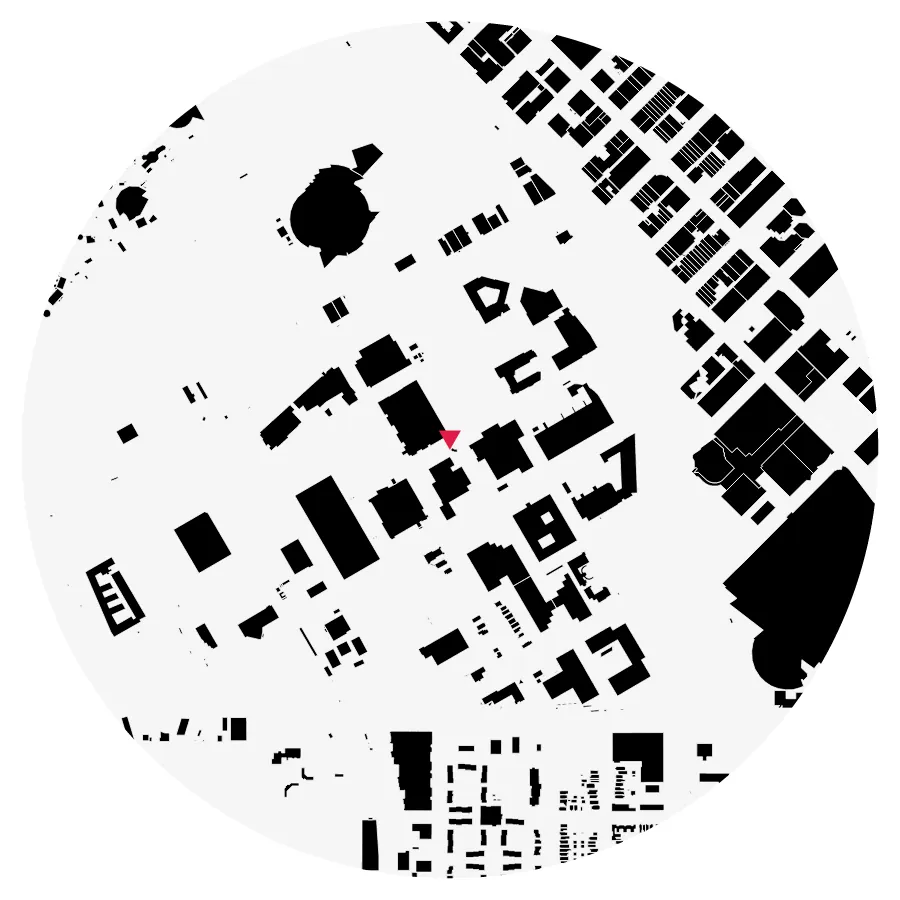
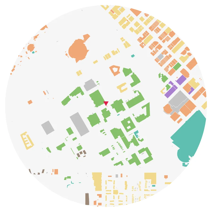
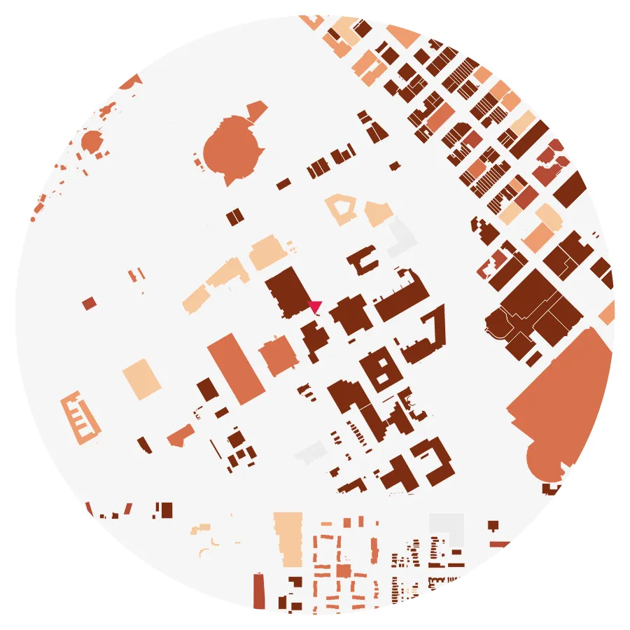
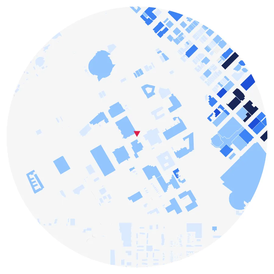
Enter an address inside the City of Denver limits and sitedia draws 22 site analysis panels for a circle or square of up to 1 mile around it — figure-ground, land use, building age, building height, zoning, tree canopy, streets, transit, terrain and sky view; sun & shadow, wind and thermal comfort run as simulations.
Sample diagrams — Auraria Campus (CU Denver)
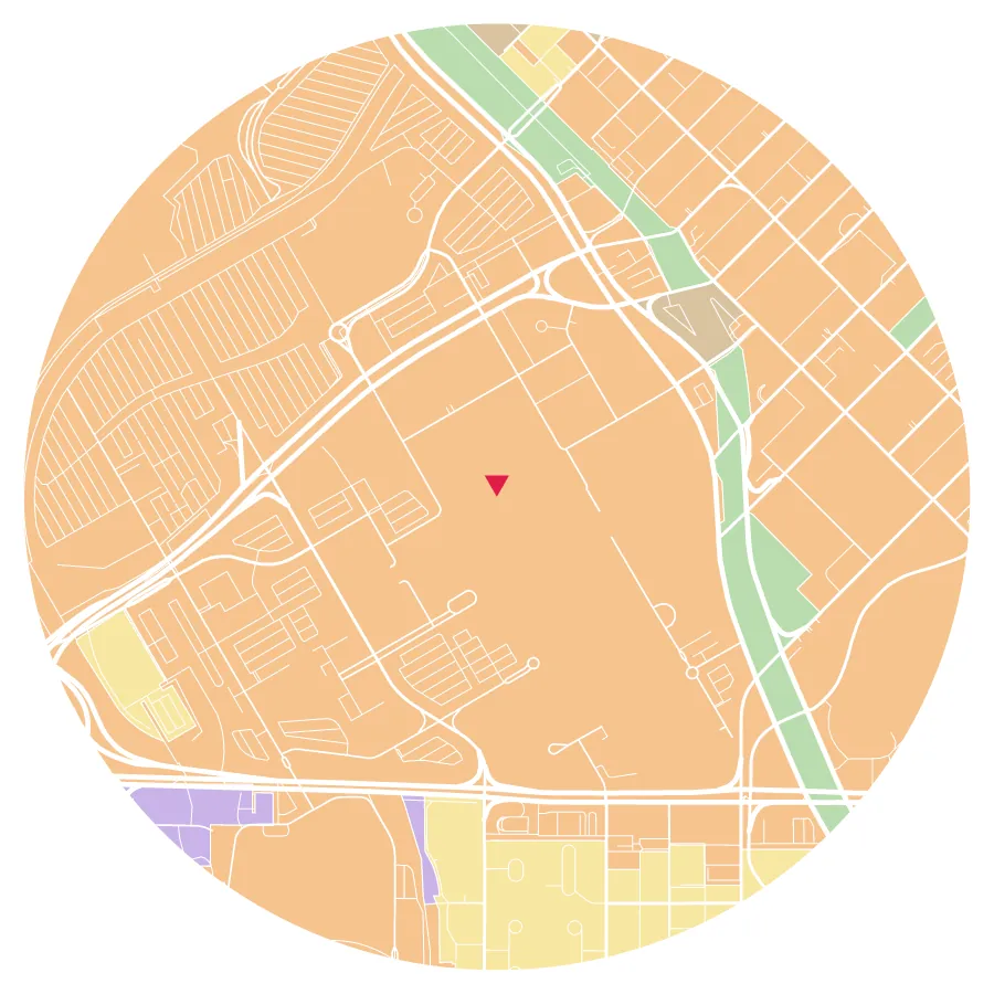
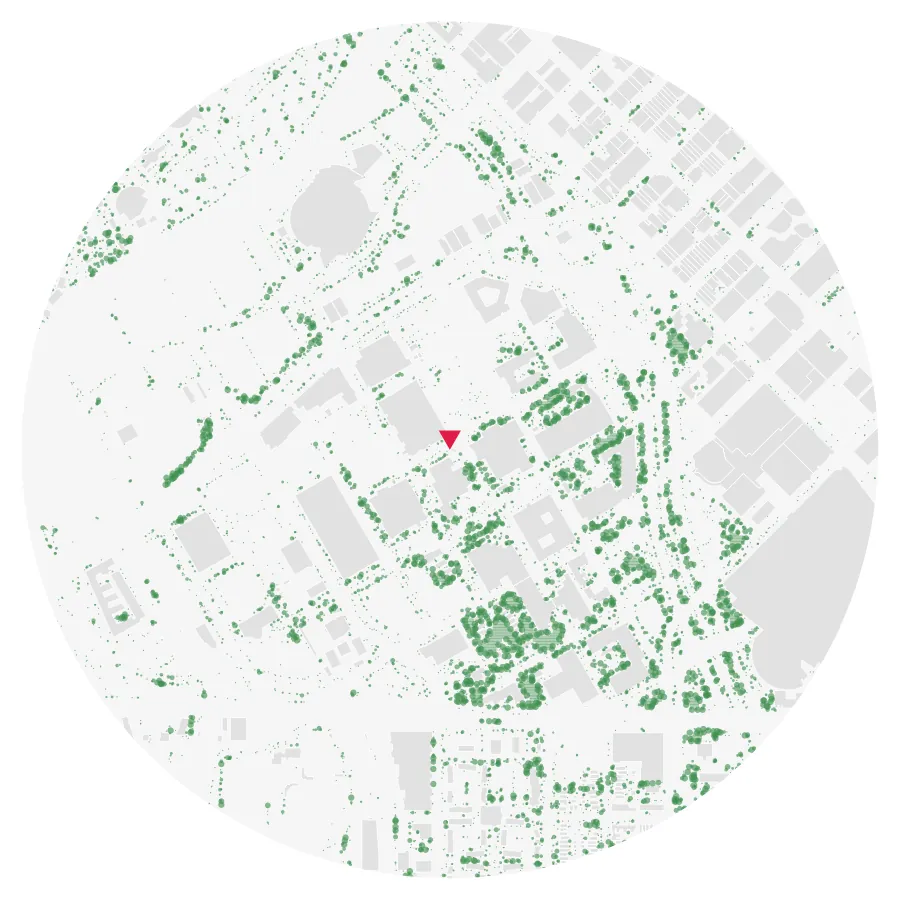
Building data in Denver
| Building footprints inside the city limits | 266,329 (Overture Maps, including garages and sheds) |
|---|---|
| With year built | 98.5% |
| With land use | 99.7% |
| Trees panel | checked against the City's 2020 neighborhood canopy, with a Denver lawn filter: within 2.5 points on average |
Counted on 2026-10-06 from sitedia's own building database. Buildings with no matching record are drawn grey and labelled Unknown. Coverage for every city: Data sources.
Sources used in Denver
| Data | Publisher |
|---|---|
| Year built · land use · lots · address | City and County of Denver, Department of Finance, Assessment Division |
| Zoning (Details) | City and County of Denver, Community Planning and Development |
| Parks (Details) | City and County of Denver, Denver Parks and Recreation |
| Street class (Details) | City and County of Denver, Department of Transportation and Infrastructure |
| Bus stops and rail stations — locations, names and routes (Transit panel and Details) | Regional Transportation District (RTD) |
Free and Pro
Free: generating and viewing the diagram set and PNG downloads (one at a time or as a ZIP, 1000–4000 px). Pro: editable SVG, colors and category toggles, the Details window and Breakdown, 3D building mass (GLB, 3DM, SKP), DXF, and the sun & shadow, wind and thermal comfort simulations — $9.99 for 3 months or $19.99 for a year (Plans).