Birmingham site analysis diagrams
Enter an address in Birmingham and sitedia draws 26 site analysis panels for a circle or square around it — figure ground, building use, building age, building height, conservation and heritage designations, title polygons, streets, public transport, terrain and sky view. Sunlight and shadow, wind and thermal comfort run as simulations.
Sample diagrams — Victoria Square
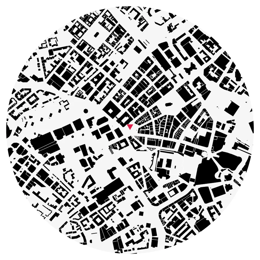
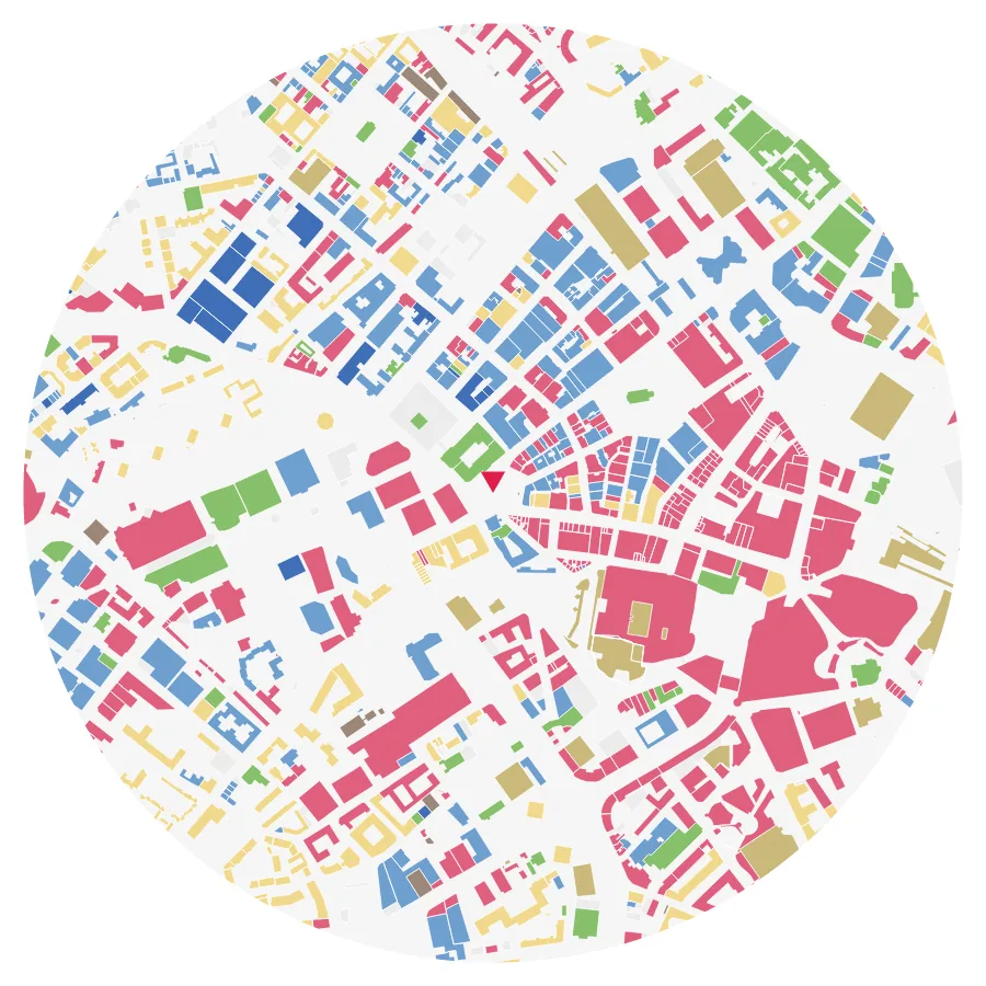
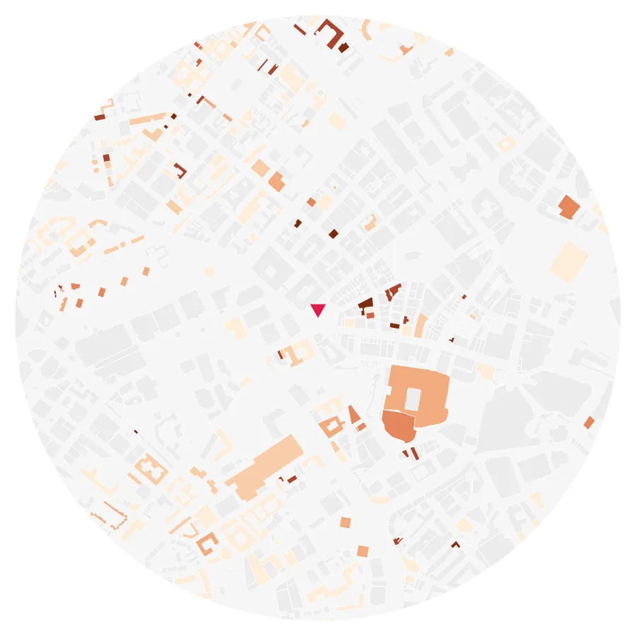
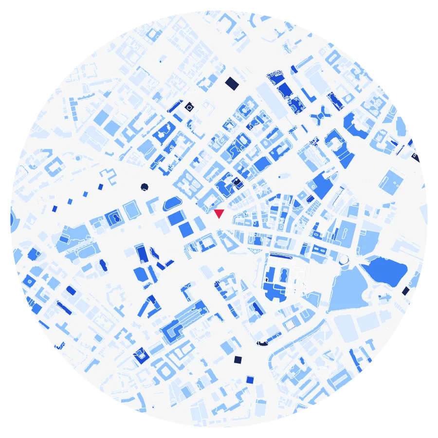
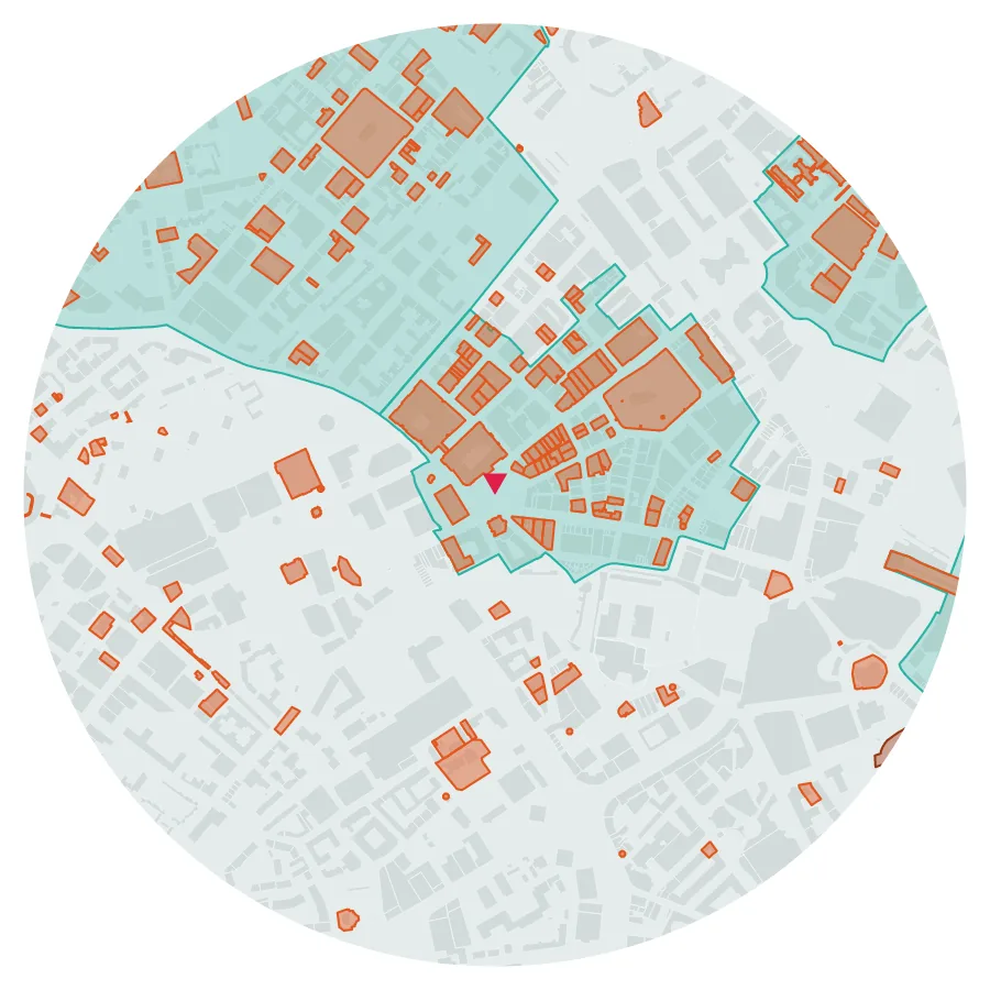
Figures within 800 m — Victoria Square
| Buildings | 1,046 |
|---|---|
| Average storeys | 5.3 storeys |
| Nearest station | Town Hall (West Midlands Metro) (80 m) |
| Bus stops | 133 |
| Ground level | 138 m |
Counted on 2026-10-28 from sitedia's building database. Buildings with no matching record are drawn grey and labelled Unknown.
Data sources
Every dataset and its publisher is listed under Data sources.
Free and Pro
Free: generating and viewing the diagram set and PNG downloads (one at a time or as a ZIP, 1000–4000 px). Pro: editable SVG, colours and category toggles, the Details window (with Breakdown), 3D building mass (GLB, 3DM, SKP), DXF, the section and context map, and the sunlight, wind and thermal comfort simulations — prices under Plans.